| " Certainly no peak which we met in all our large experience of the mountains of this continent ever compared with Shasta in producing the effect of vast height." |
|
|
-Ludlow Fitzhugh, On Horseback into Oregon, 1864 |
Mount Shasta Climb Info from Wikipedia: Mount Shasta (Úytaahkoo in Karuk or "White Mountain") |
|
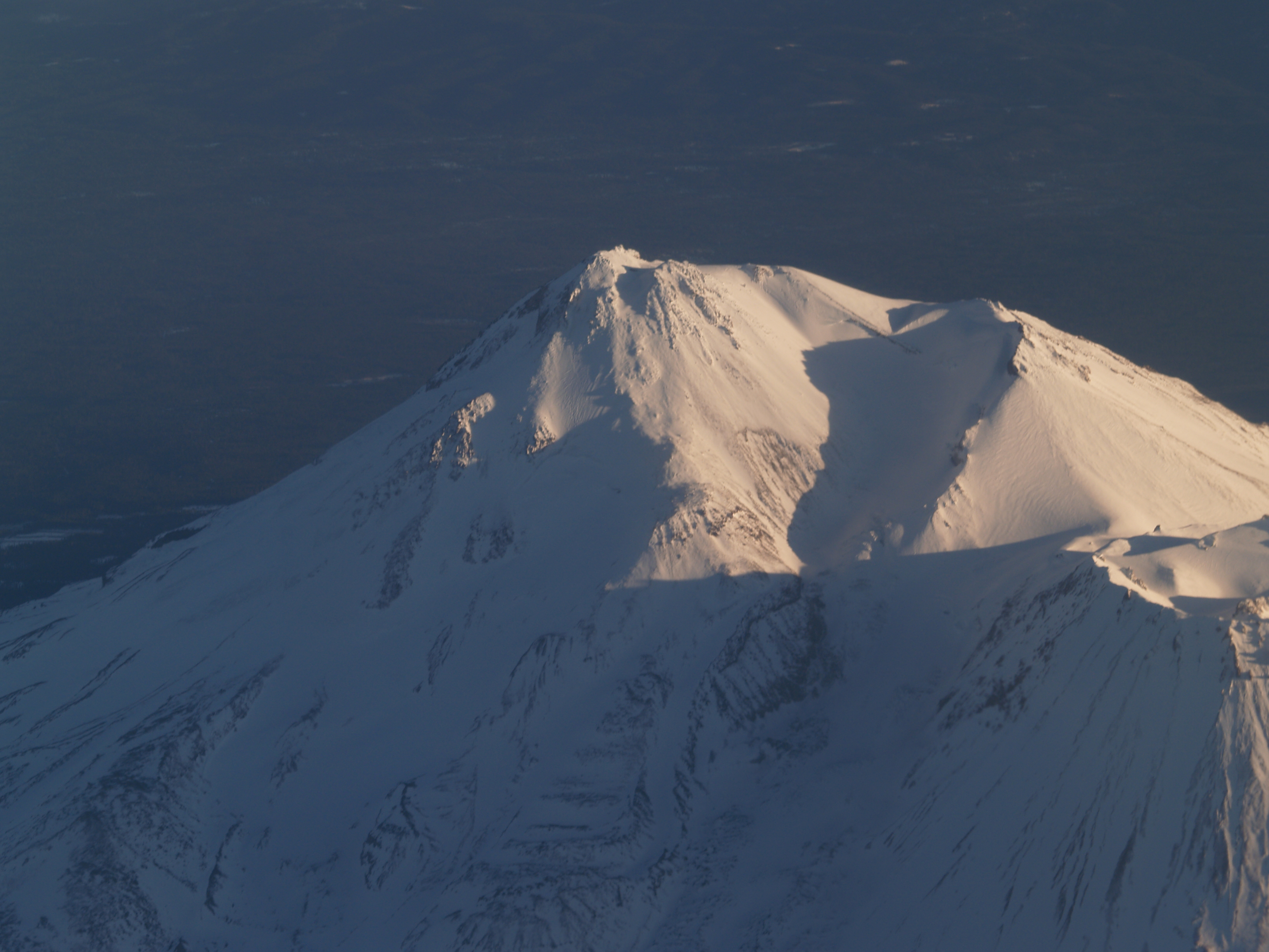
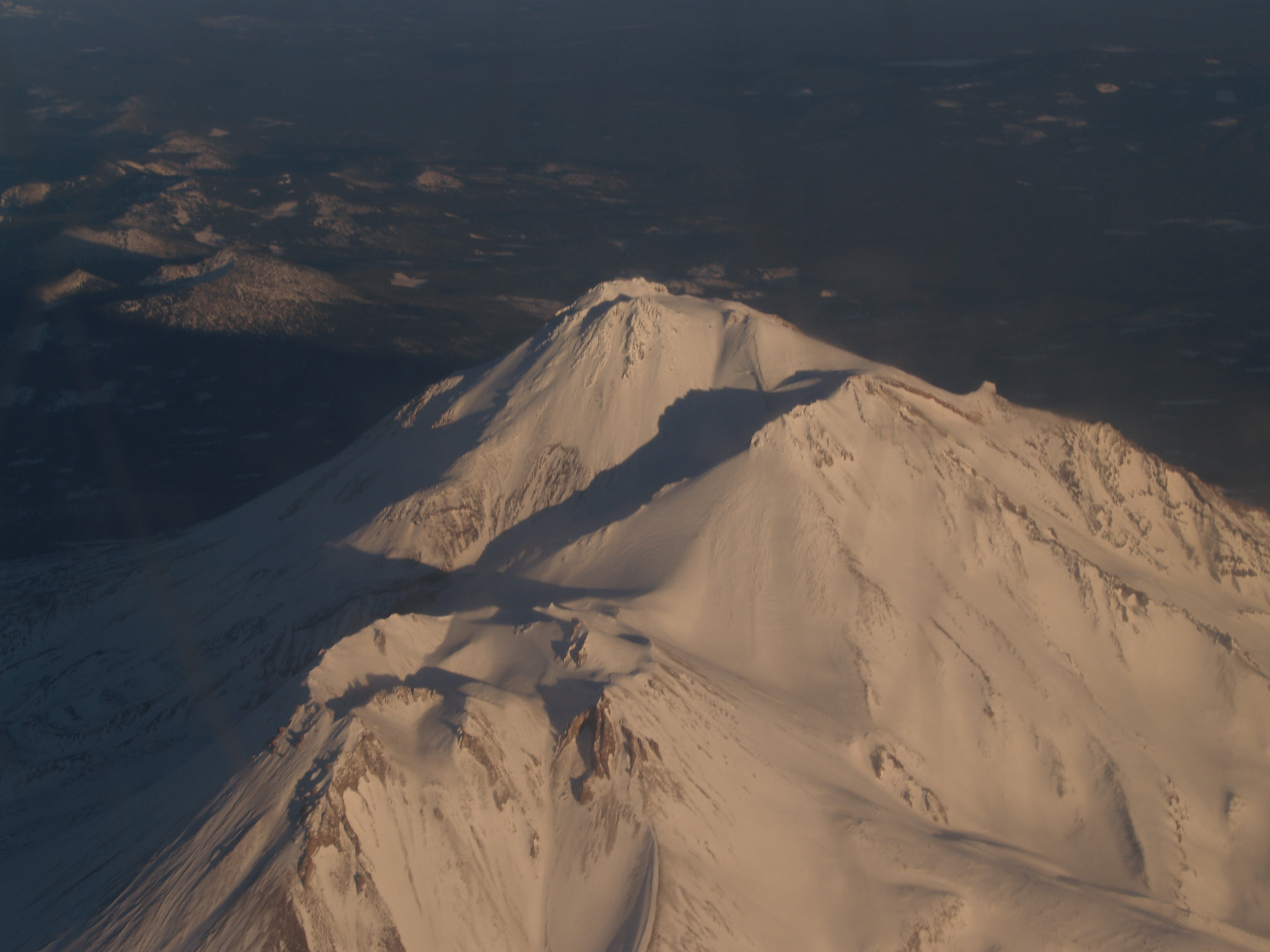
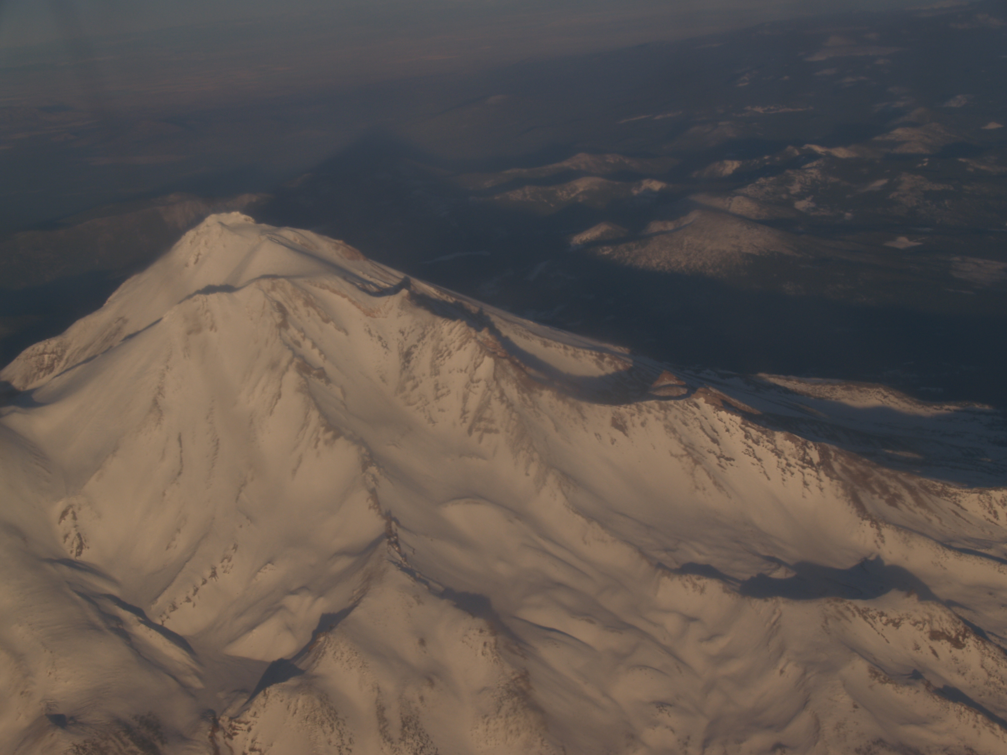
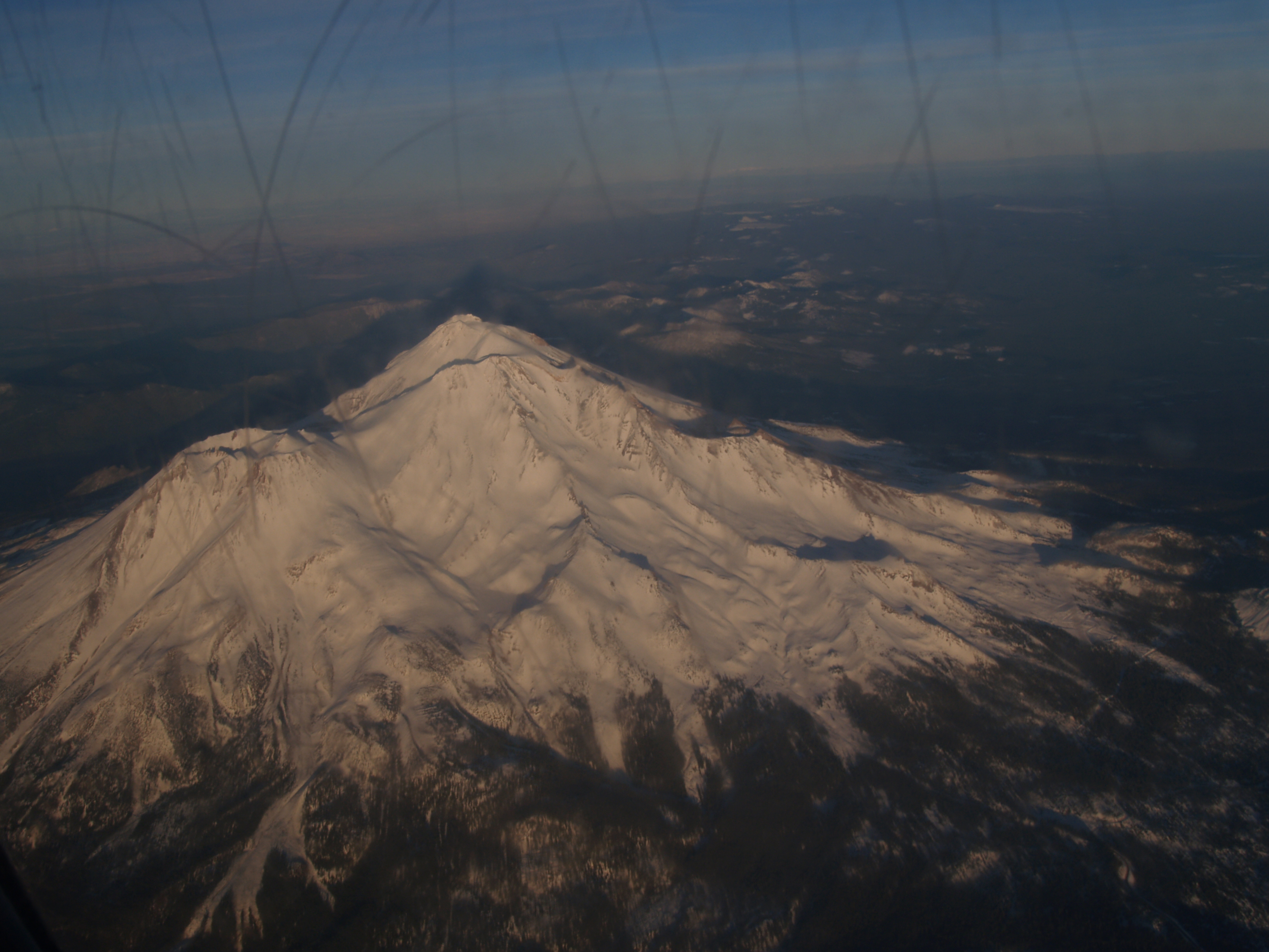
Here are some pictures of Mt. Shasta I took during a commercial flight from Portland to Redding a few years ago.
(The window was badly scratched, so the quality is bad.)
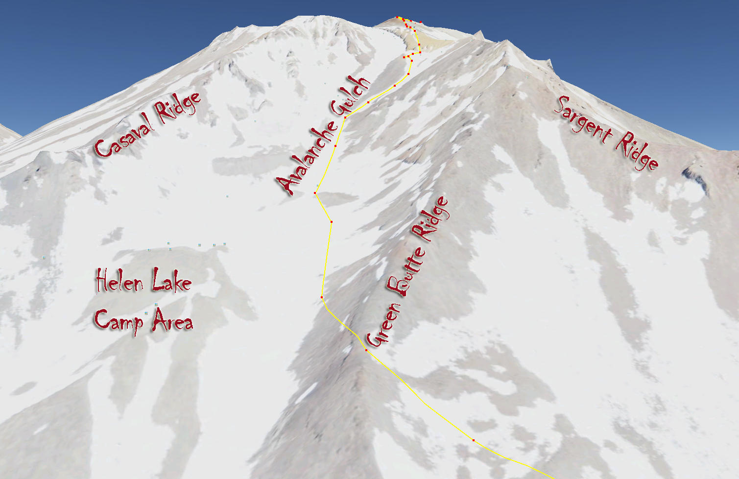
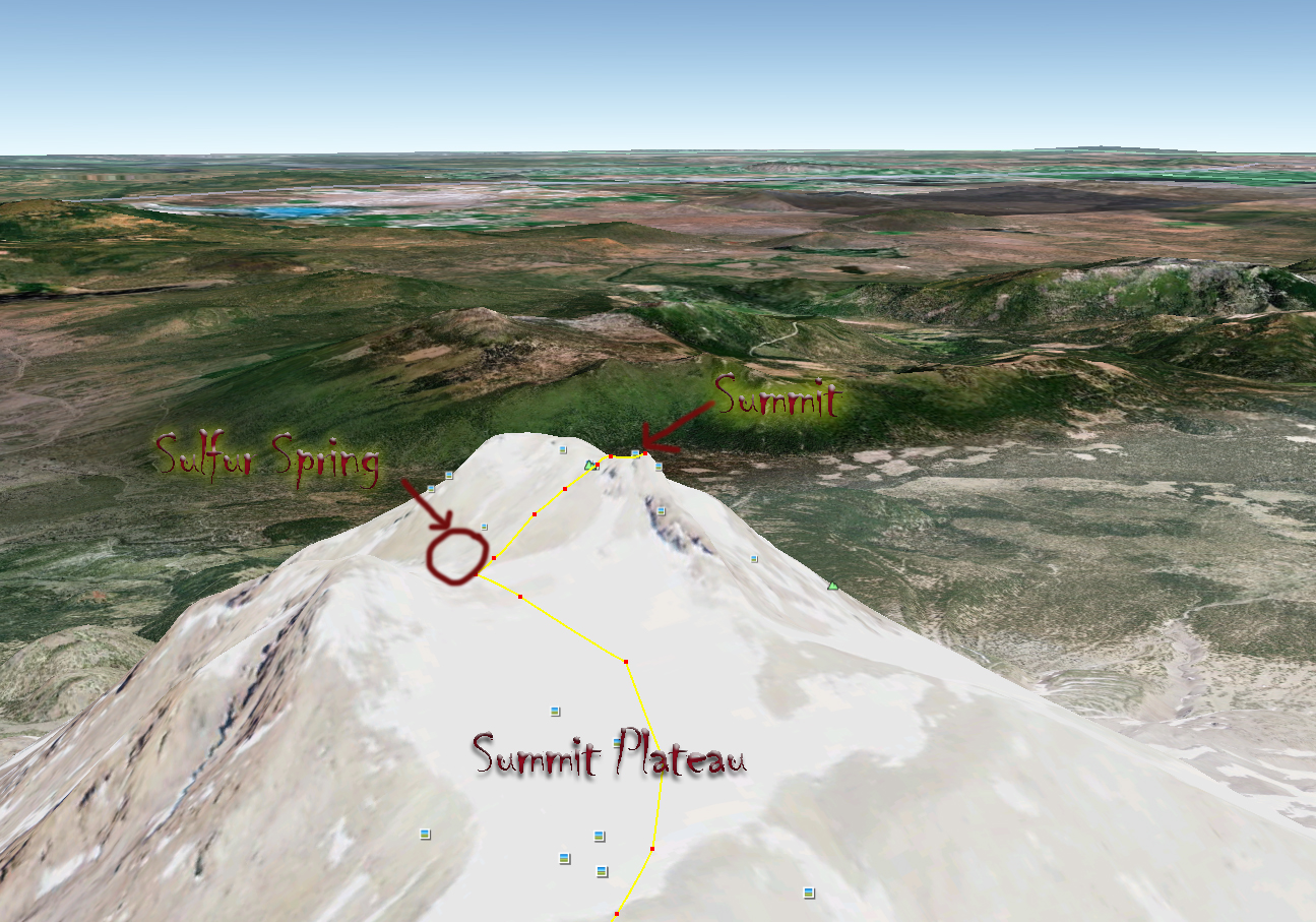
Google Earth images with our route in yellow:
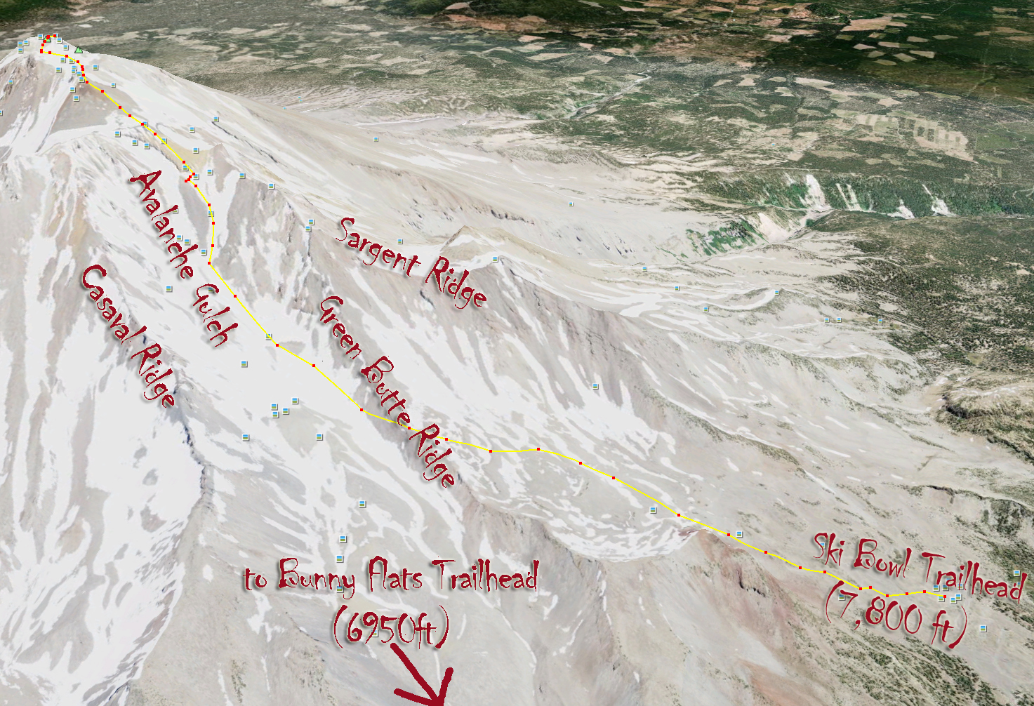

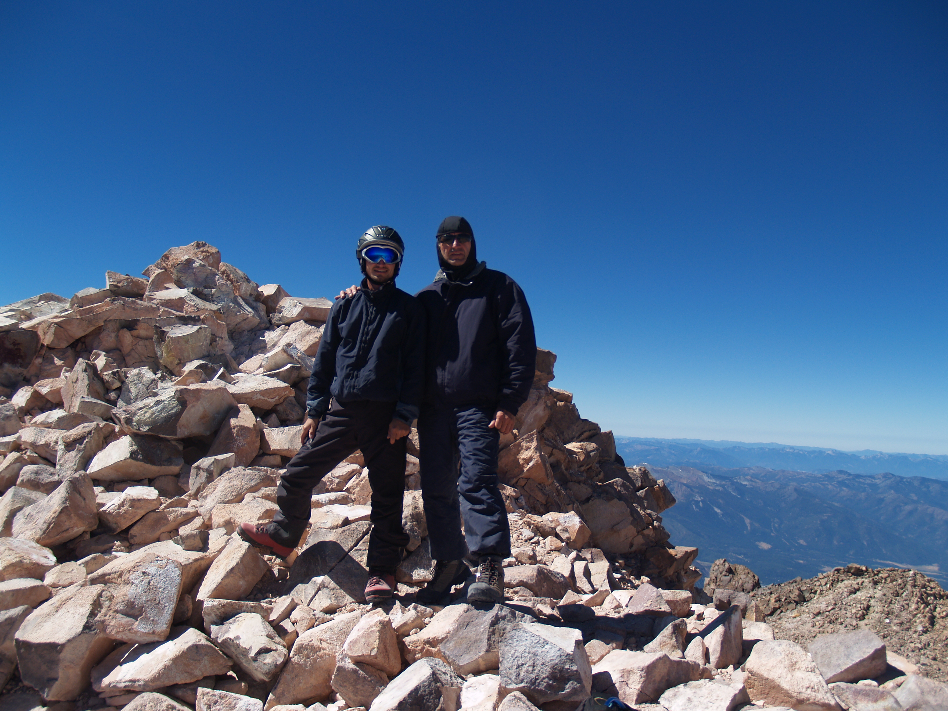
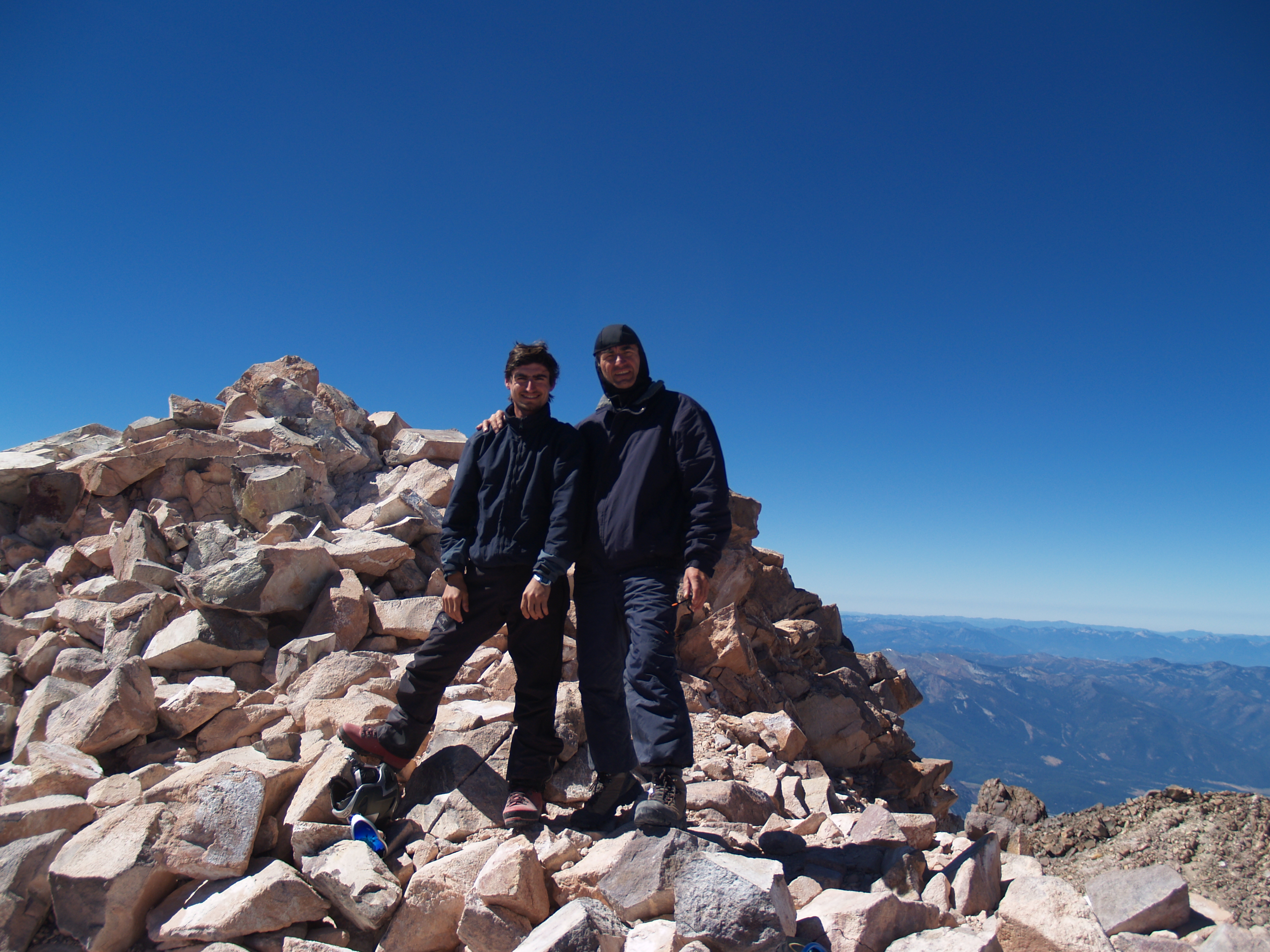
Dad (Daniel) + 60lb pack to 12,500ft and about 10lb to summit Me (Corneliu) + 70lb pack to 12,500ft and about 15lb to summit Started form Ski Bowl Trailhead (7800ft) on the 5th, at 7:20 AM
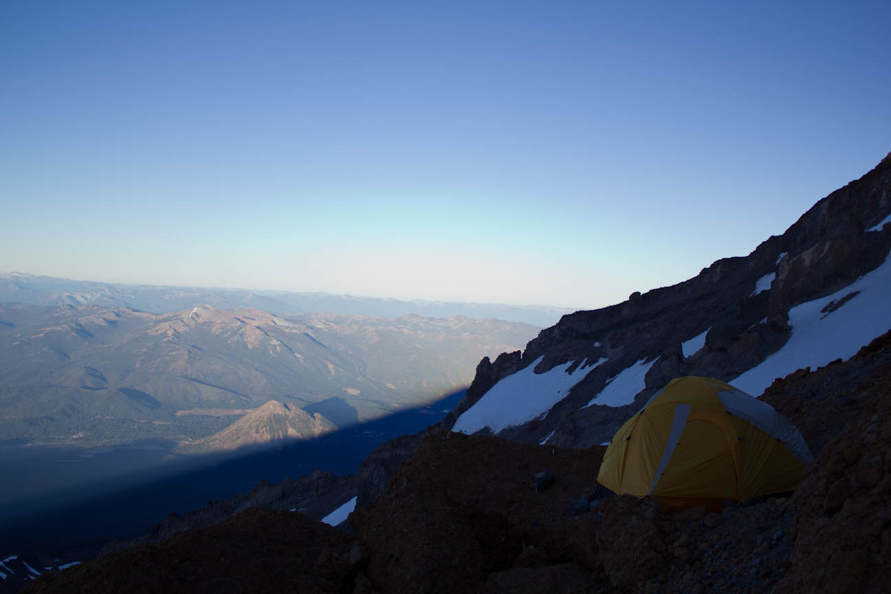
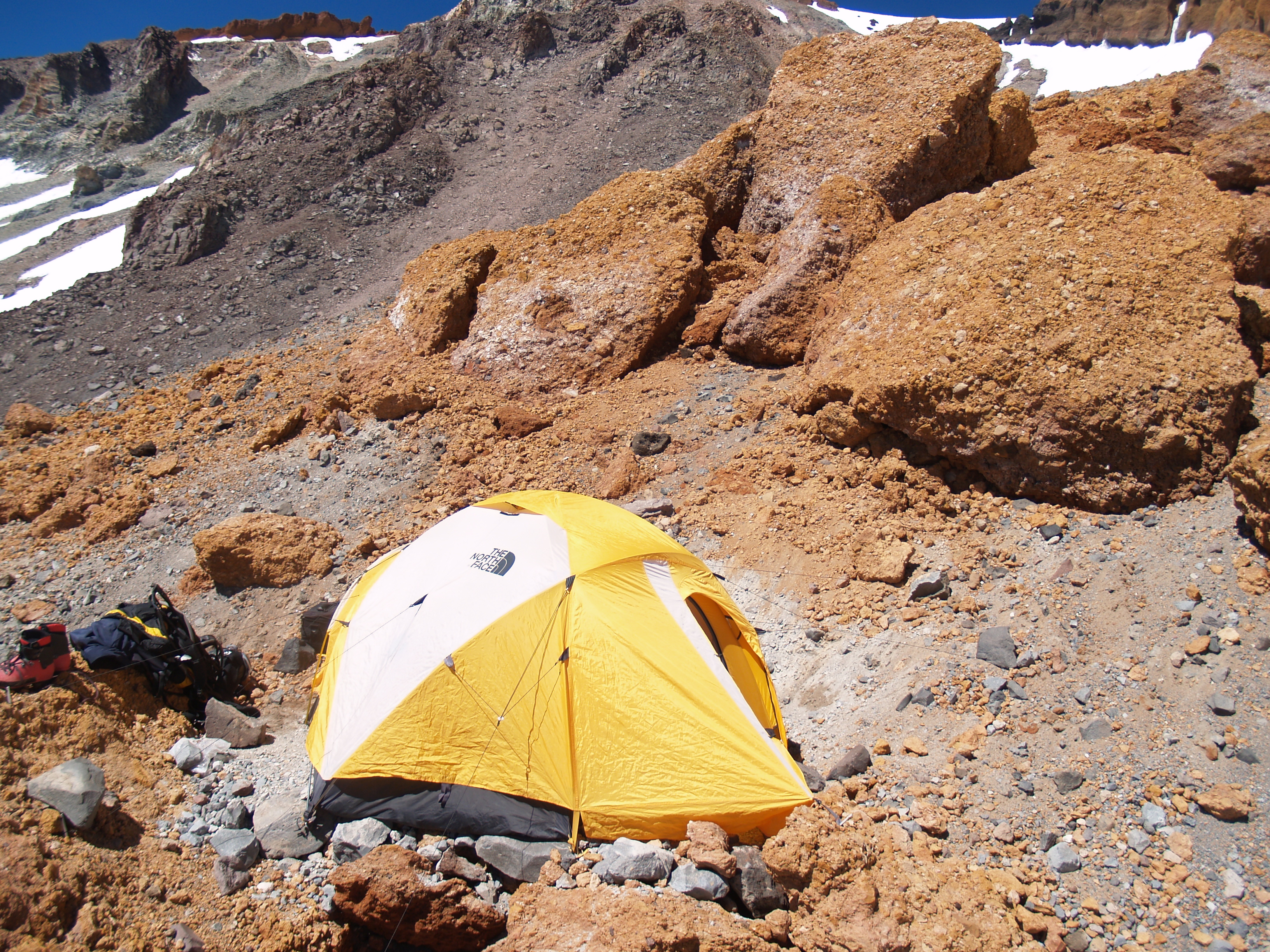
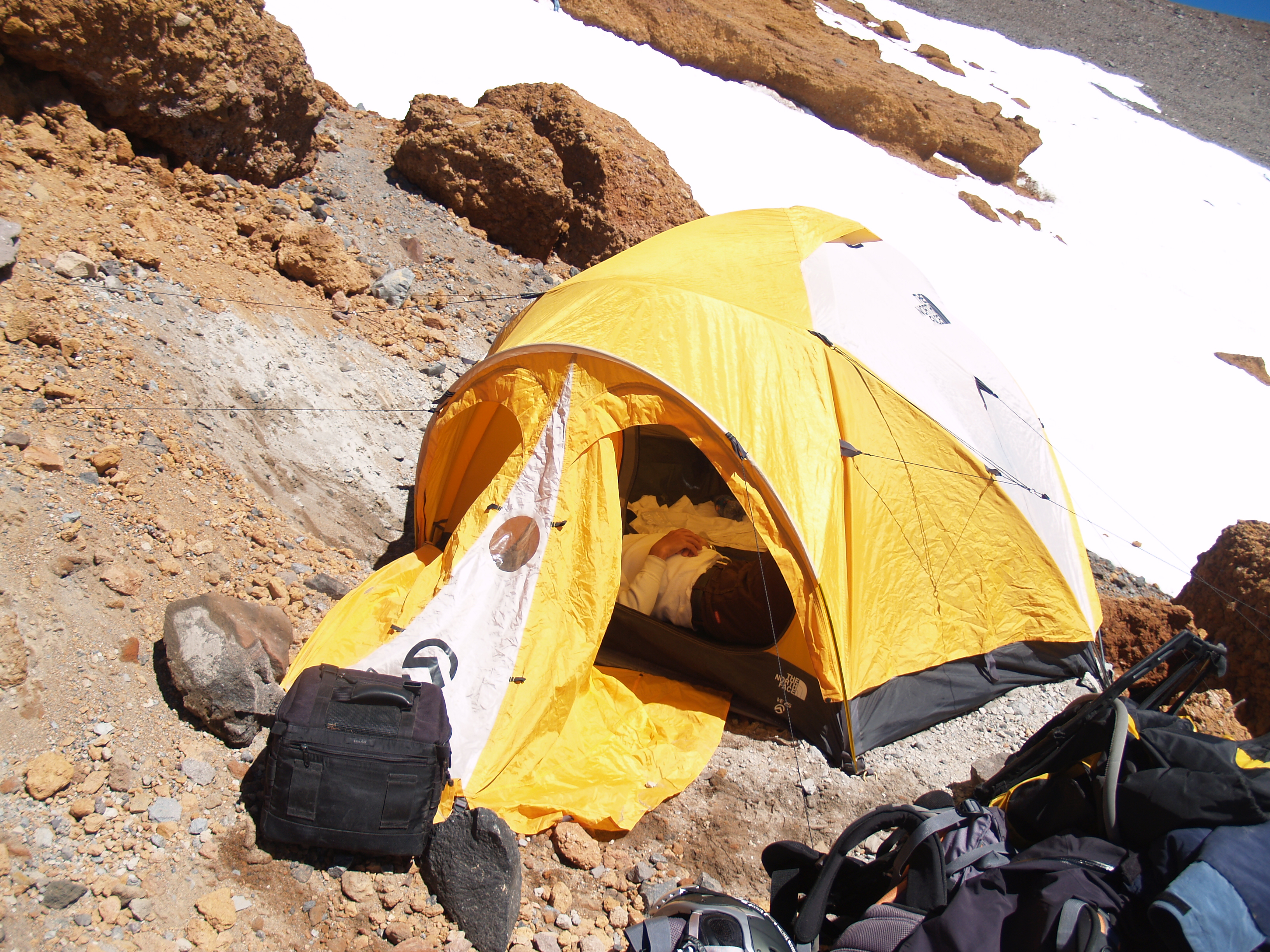
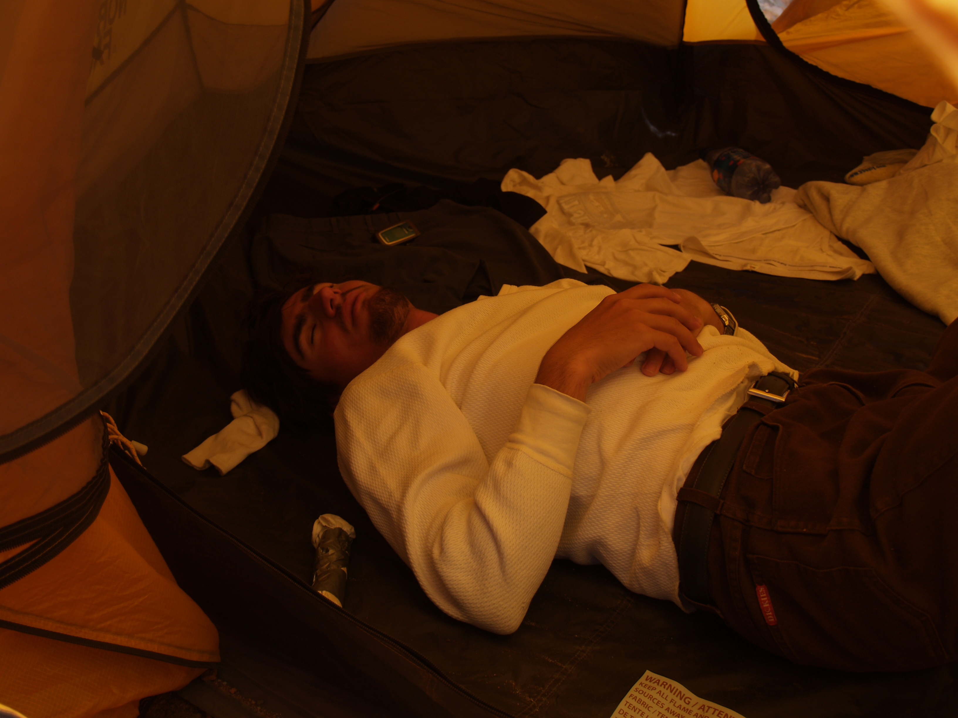
Stopped to camp at 12,500ft, 5:44 PM. Built a ledge with hands and boots in the sandy/rocky slope between rocks, and pitched tent by 7:20 PM Three layers of clothes, no sleeping bags, and close to freezing temperature made it extremely difficult to rest. The wind was blowing about 30-40mph with gusts of about 60mph. Slept only 2 hours all night – no more than 15 min. at a time, to prevent hypothermia Rubbing hands and feet helped a little and kept us awake.
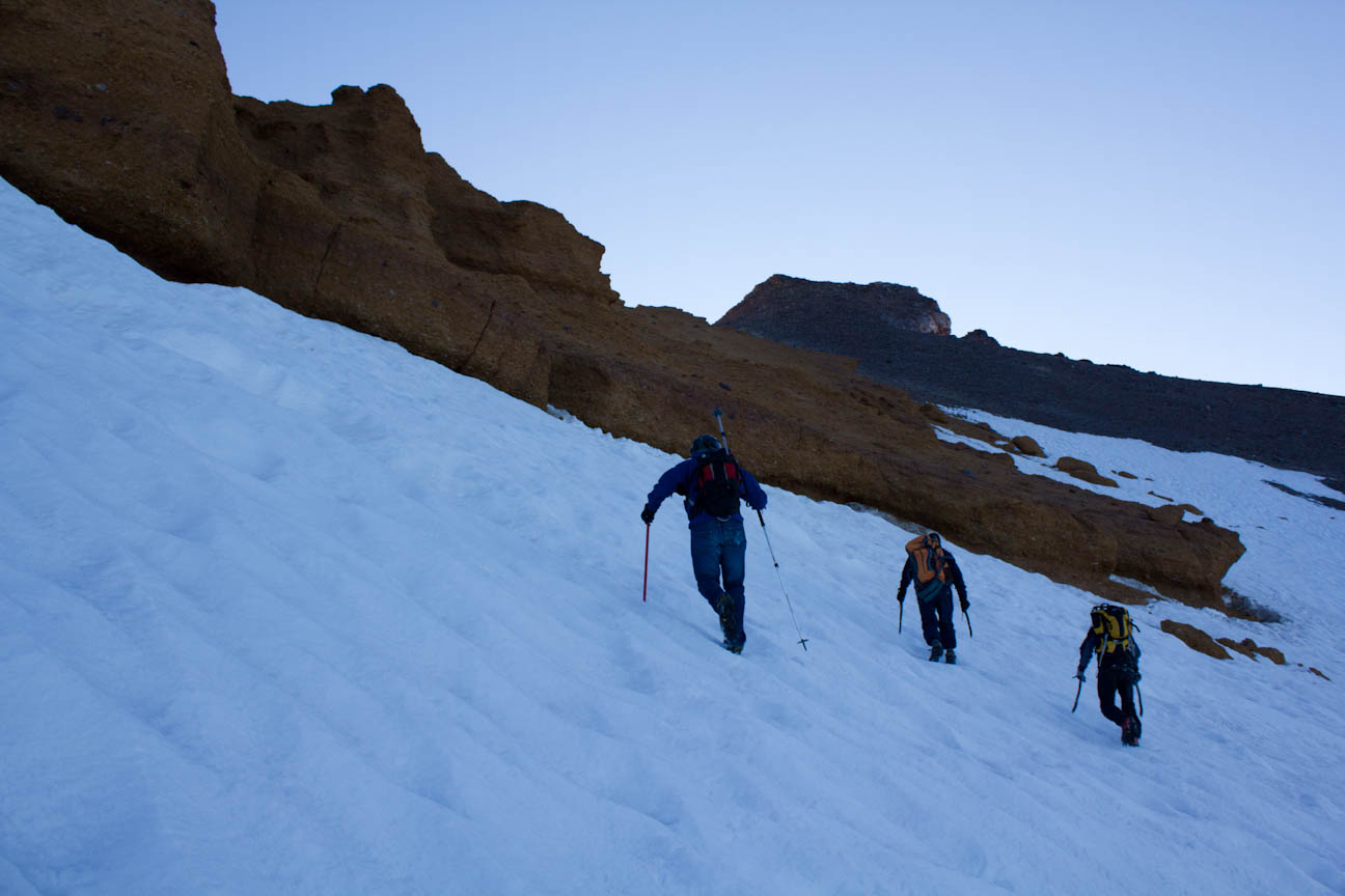
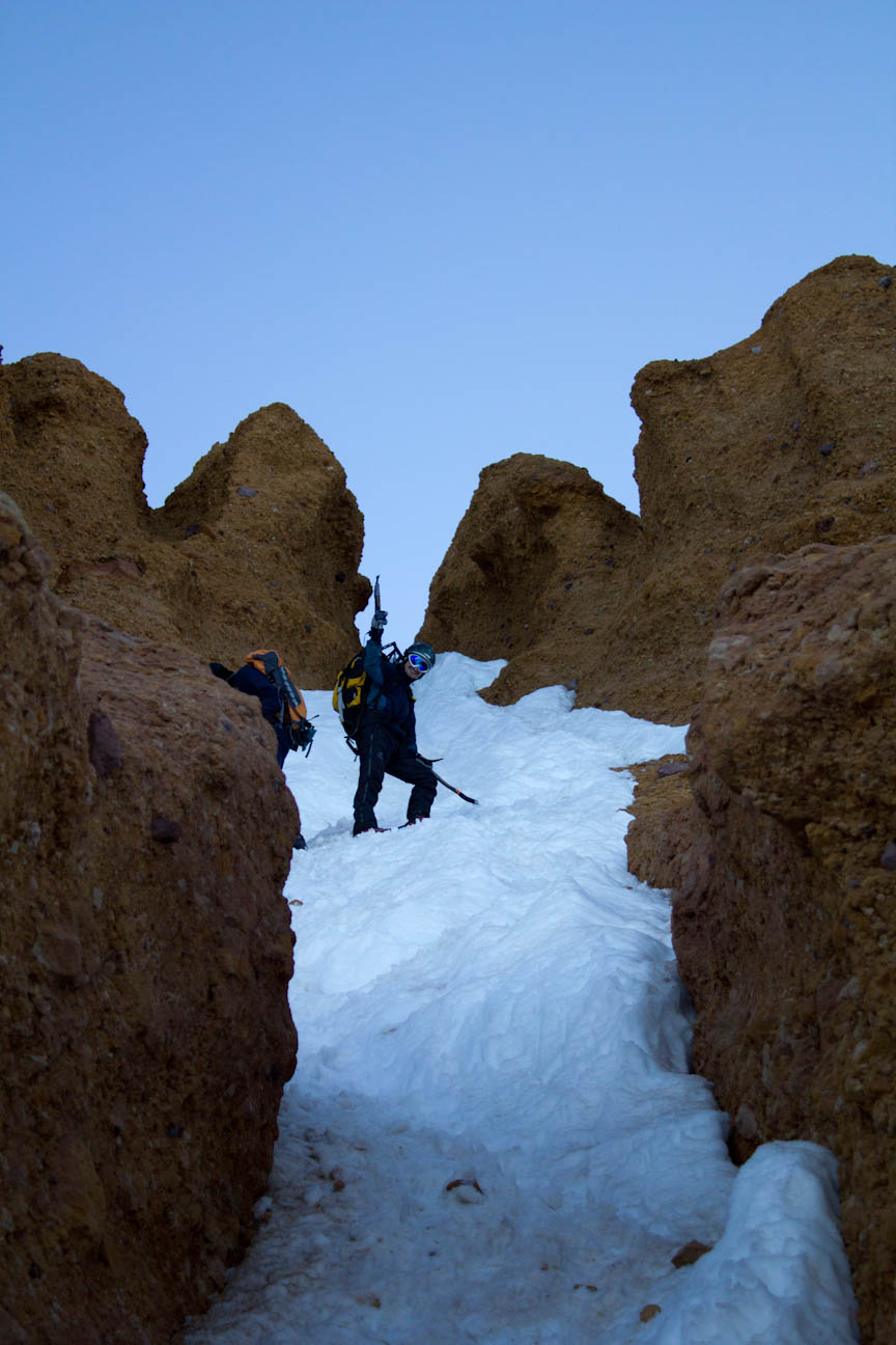
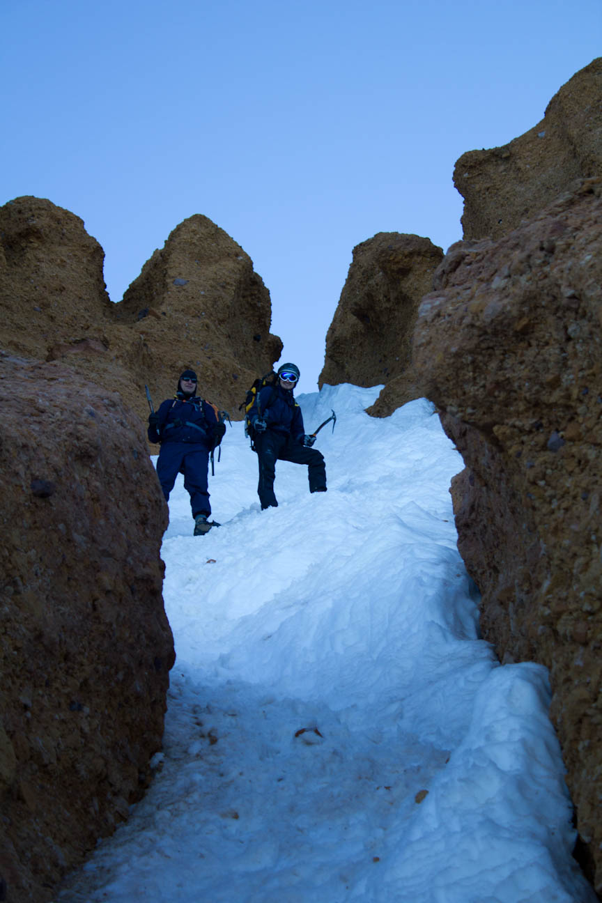
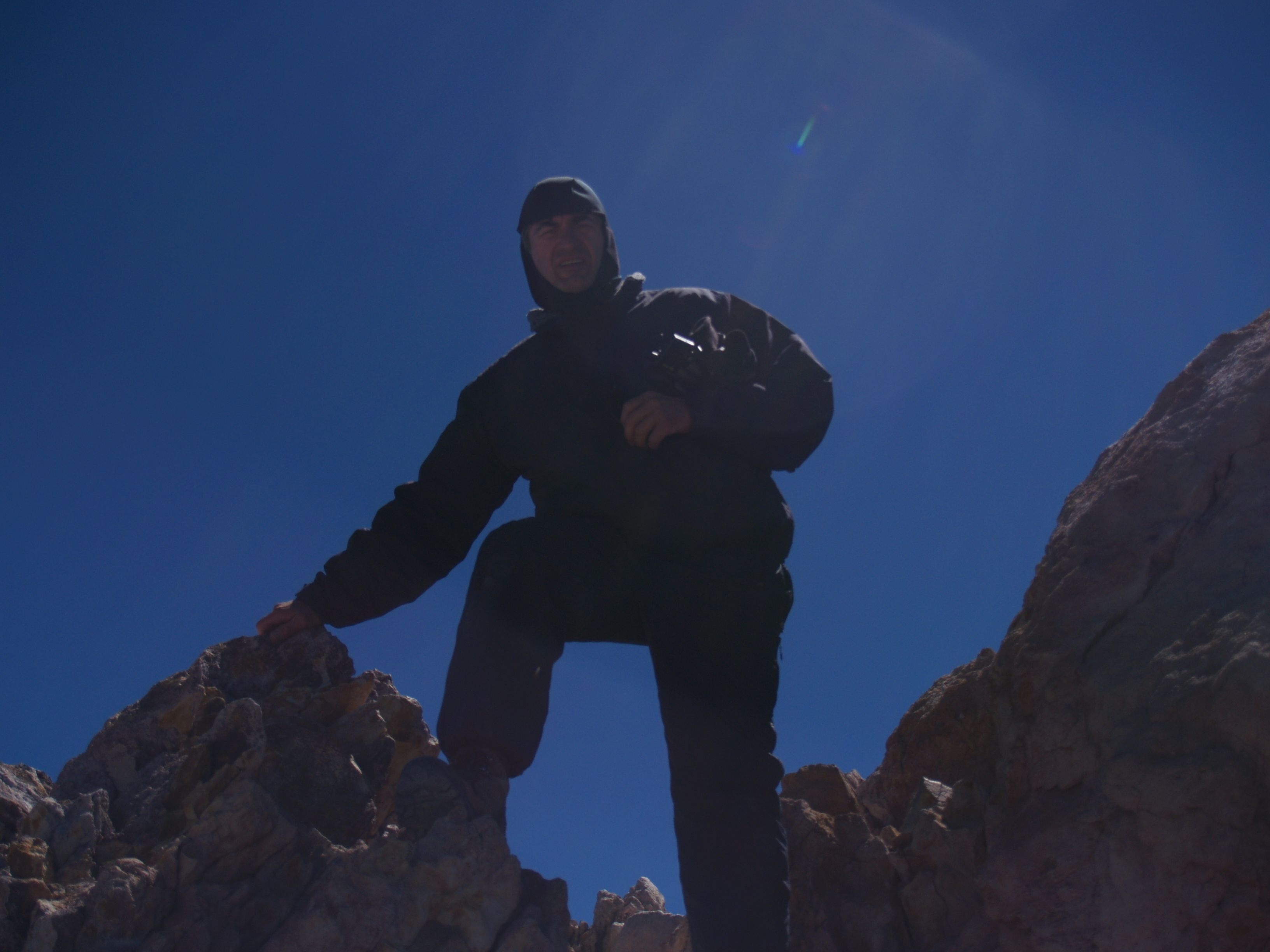
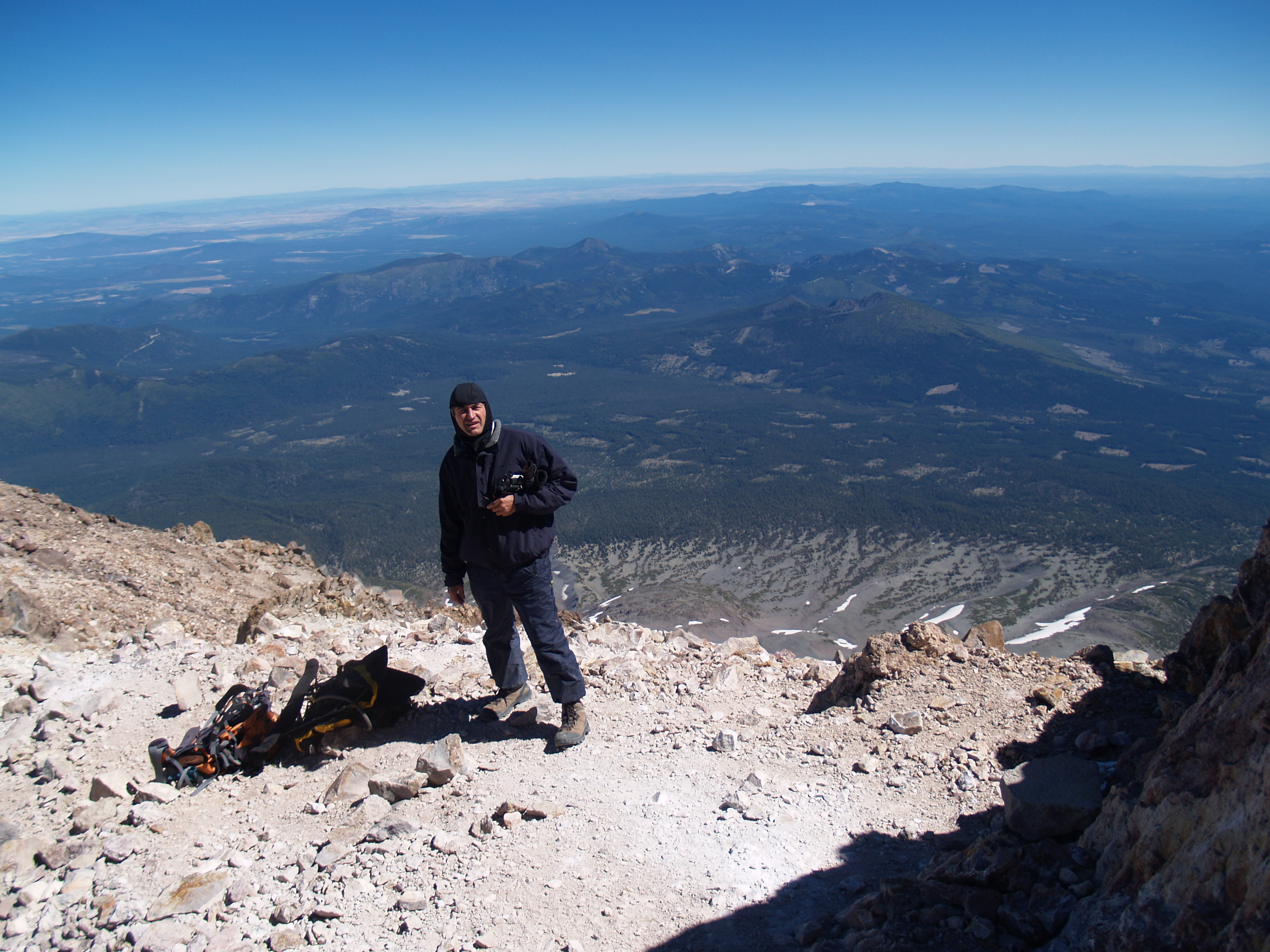
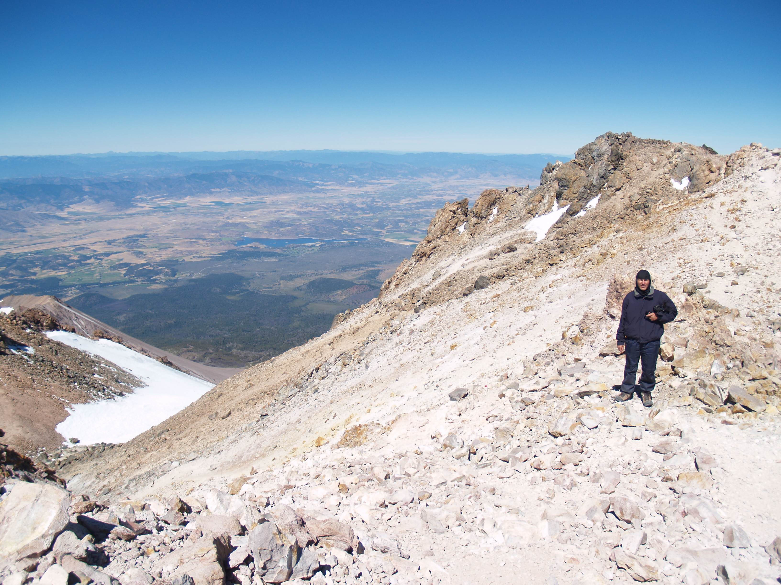
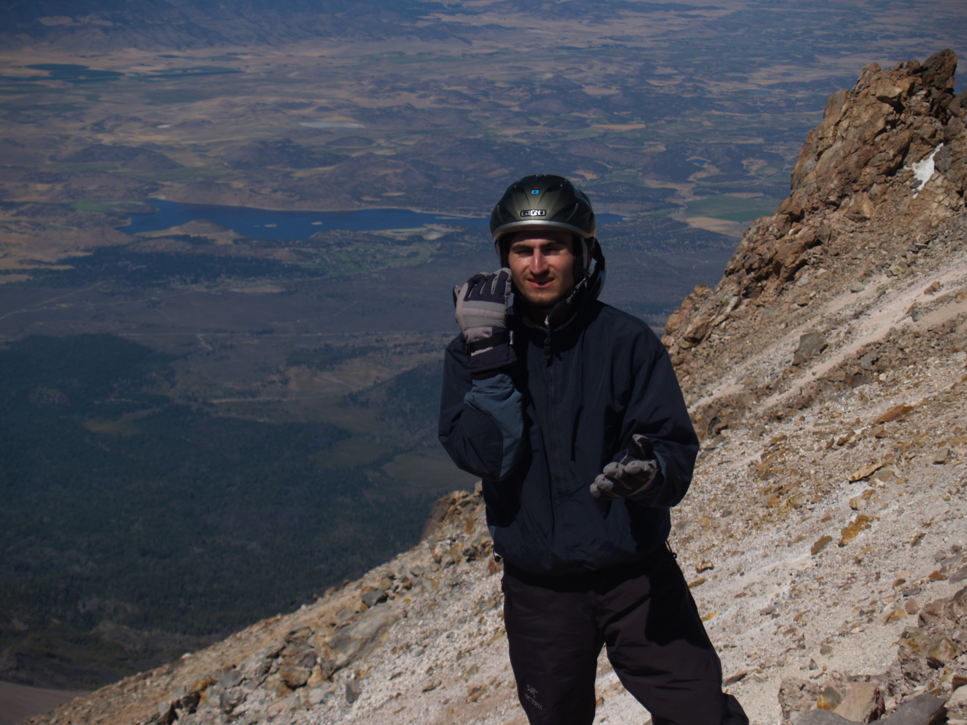
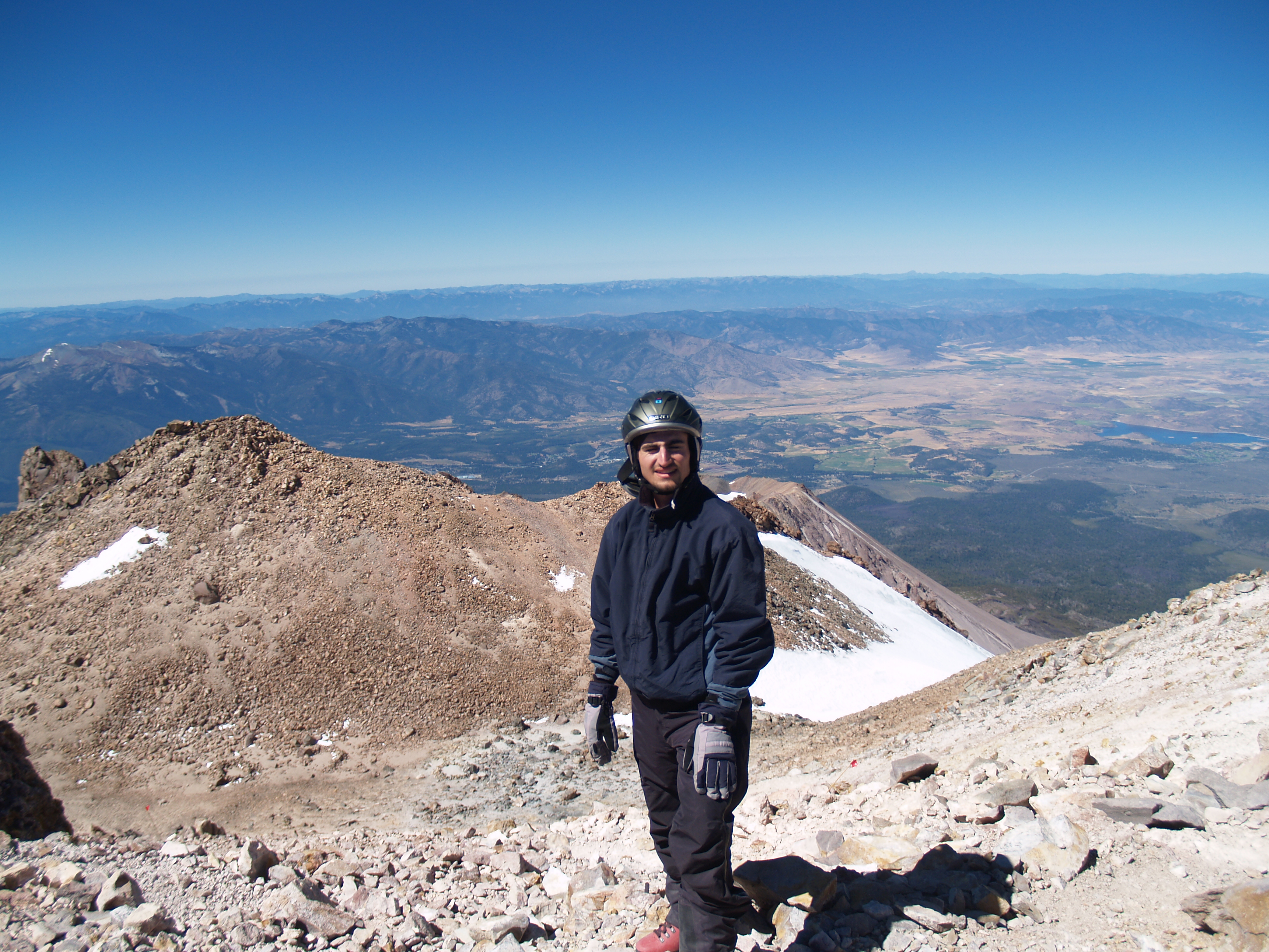
Started up through the notch in the Red Banks (12,500ft) on the 6th, at 7:15 AM (The following 5 pictures were taken by some climbers we ran into on the mountain.)
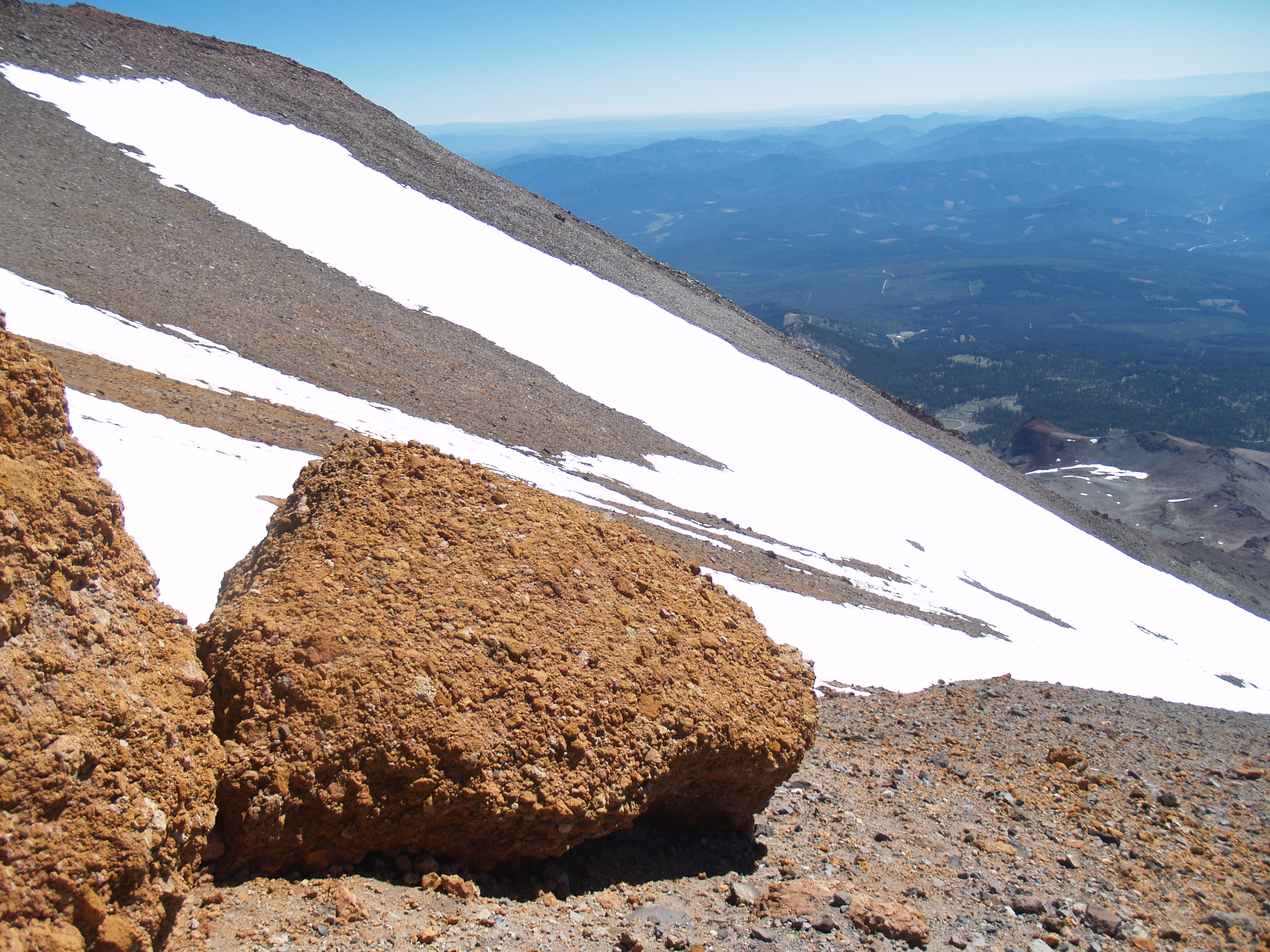
Looking back across the Red Banks at the western valley (about 13,000ft) at 8:25 AM:
|
Took a nap at top of Misery Hill (about 13,850ft)
Summit!!!
Took the following pictures at 12:00PM:
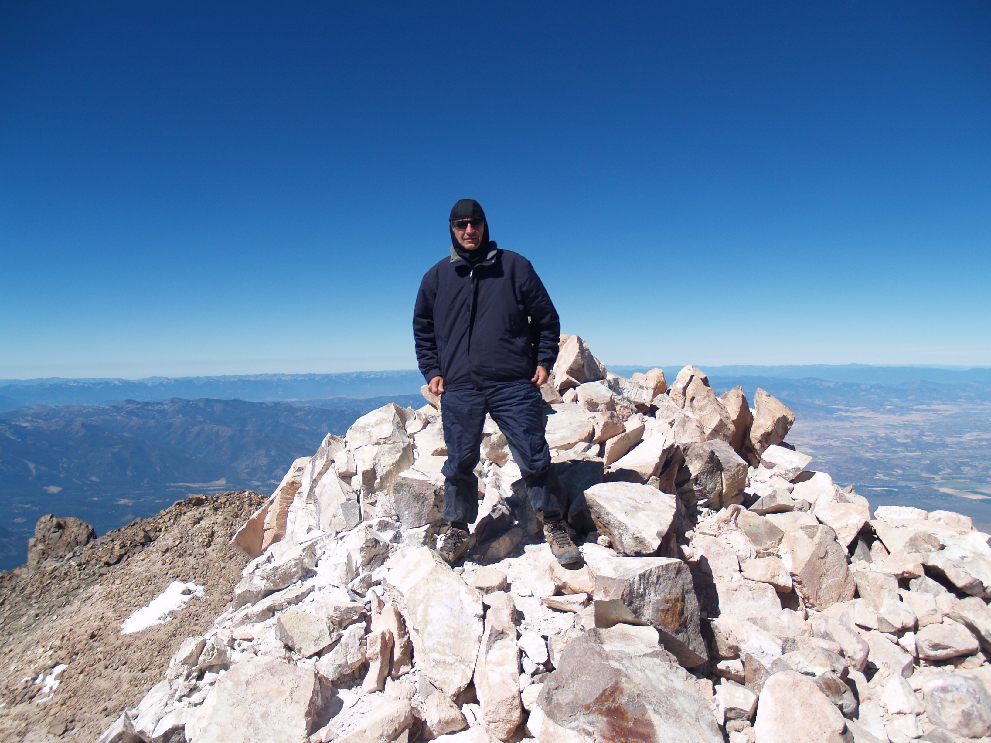
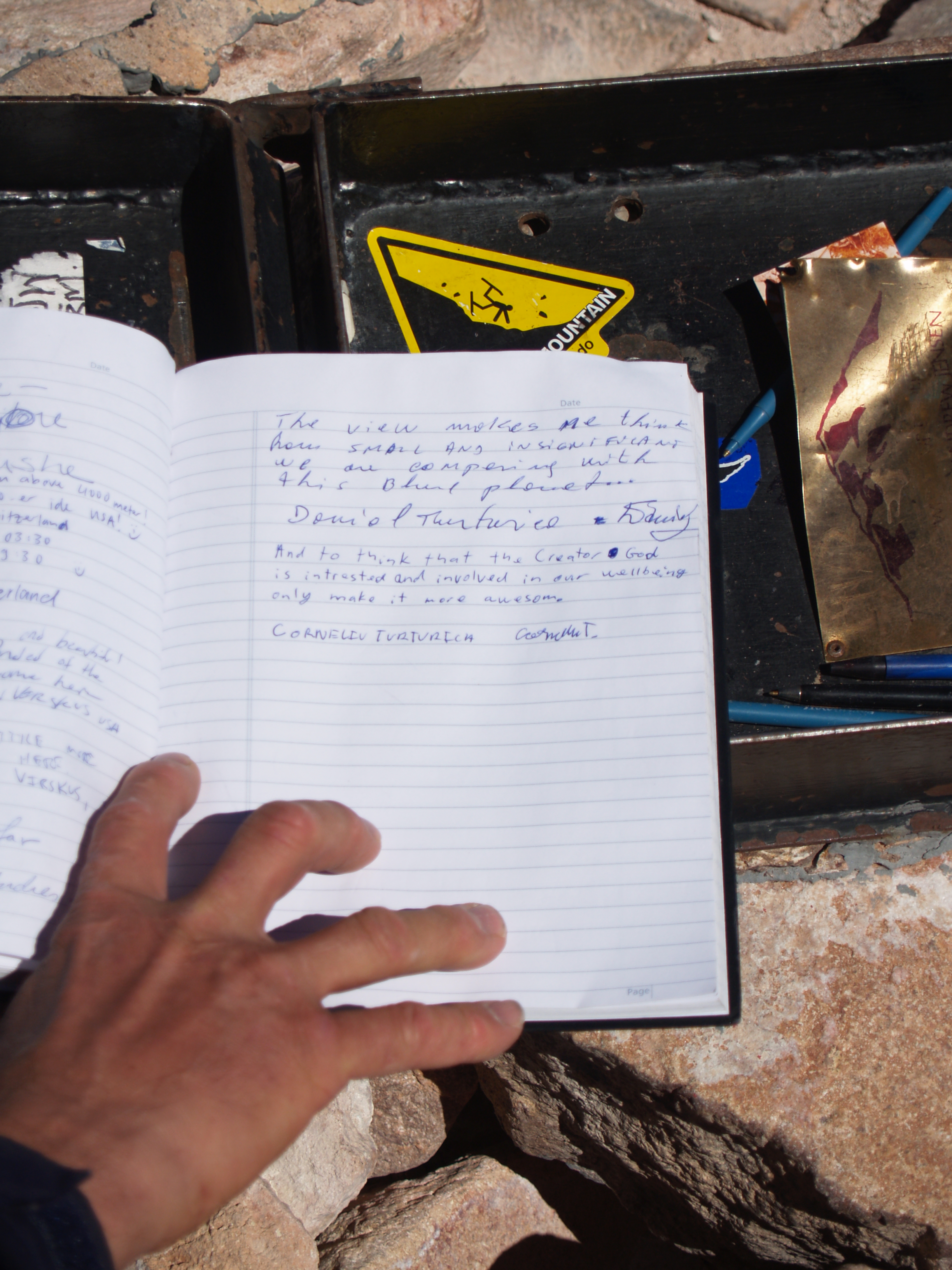
Signed the summit log book: with stiff fingers:
 \
\
The patch of snow on the lower right is the Summit Plateau. It's flat and easy to travers.
360 deg. panorama from the summit:
Looking back at the Red Banks from our camp (12,500ft):
More pictures at our camp:
Another nap:
Headed down the slope at about 3:00 PM After a 10 minute glissade (sliding down on snow, feet first and using the handle of the ice axe to apply breaks) we reached 10,000ft. Hiked the rest of the way down and made it back to our truck by 6:15 PM
Ascent time minus sleep = 16hr 10min Descent time minus sleep = 5hr Total altitude climbed = 6379ft
Pictures taken with an Olympus E-300 SLR It was time consuming and hard to get the camera out of the backpack while climbing. Next time I’ll take a small camera.
Other things to keep in mind for the next climb: 1.) Carry less water (15lb each was too much!), less food, and less clothes 2.) Getting a good night sleep before leaving home on such an adventure – 4 hours was not enough 3.) Never camp at 12,500ft without sleeping bags – the tent protects from wind but not from cold
Looking back from the Shell station in the City of Mt. Shasta:
It was a great experience, and I learned a lot about mountaineering. Next time I should be able to climb the mountain in a 1-day trip with less weight. I continue to be impressed with the how small and insignificant we are in comparison with the vast landscape. The experience and setting made God's interest in us very real. I thank Him for it and for keeping us safe that night. Corneliu Turturica |